Why Snowstorms Have Become A New Scientific Curiosity
Researchers involved in the Microphysics and Precipitation for Atlantic Coast-Threatening Storms (IMPACTS) project are studying snowstorms to try and understand the changing weather patterns associated with climate change.
This article is more than 2 years old

As the effects of climate change become more prominent, scientists are doing their best to understand new weather patterns. A recent study, conducted by University of North Dakota Ph.D. student Christian Nairy, entailed traveling through a winter snowstorm to examine real-time images of cloud particles sampled by a device on the wing of an airplane.
The research was conducted earlier this month, with the plane taking off from NASA’s Wallops Flight Facility in Virginia. The study was part of a campaign called IMPACTS, or the Investigation of Microphysics and Precipitation for Atlantic Coast-Threatening Storms mission. The air carrier was equipped with scientific tools which enabled Nairy to examine live snowstorm data on his computer.
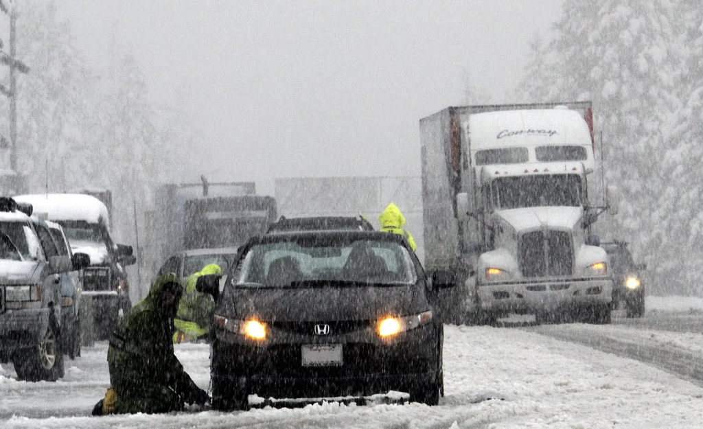
Some of the ice crystals looked like perfect little snowflakes. “They’re amazing to look at. Especially when they pop up right in front of you on the screen, it’s remarkable,” Nairy said via NPR. The endeavor aims to gather the information that could help weather forecasters predict whether snowstorms are dangerous and requires road closures and canceled flights.
Before the IMPACTS campaign, which began in 2020 and ends on February 28, there hadn’t been a major airborne study of snowstorms in the eastern half of the United States in decades. “Whatever nature gives us, we will go fly in it,” Atmospheric Scientist Lynn McMurdie said. “We are going out and trying to get the whole range, from storms that block traffic to normal snow,” she added.
One of the biggest snowstorms the research team flew into was the January blizzard that dumped two feet of snow on parts of the Atlantic coast. “That was a crazy one. We hit some crazy turbulence on that flight,” Nairy told the publication. But this year, eastern snowstorms have been relatively hard to come by. Still, the team plans to make the best of what they have.
“I think we have really excellent data,” McMurdie explained. A lot of studies can be conducted from the existing snowstorms’ data, even if they’re not the most quintessential. Another goal of the IMPACTS project is to better understand bright snow bands that frequently appear in radar maps of winter storms east of the Rocky Mountains.
Although scientists have known about these distinctive radar patterns for decades, how they form or what exactly is going on inside the clouds remains unclear, McMurdie told NPR. This is why scientists with IMPACTS chart their flight paths right through a snowstorm’s bands. From the plane, researchers can send probes down through the storm which collect temperature, pressure, and other data.
What they have discovered so far is that a unique type of crystallized water is an important aspect of the snow bands. This may lead to more water content, more ice particles, and eventually more snowfall. The large amounts of data from a diverse array of snowstorms should give meteorologists a lot to consider in the coming years.
Hopefully, the research will be incorporated into forecasting models so that future weather reports will give a better sense of a snowstorm’s severity.


